Watch
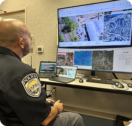
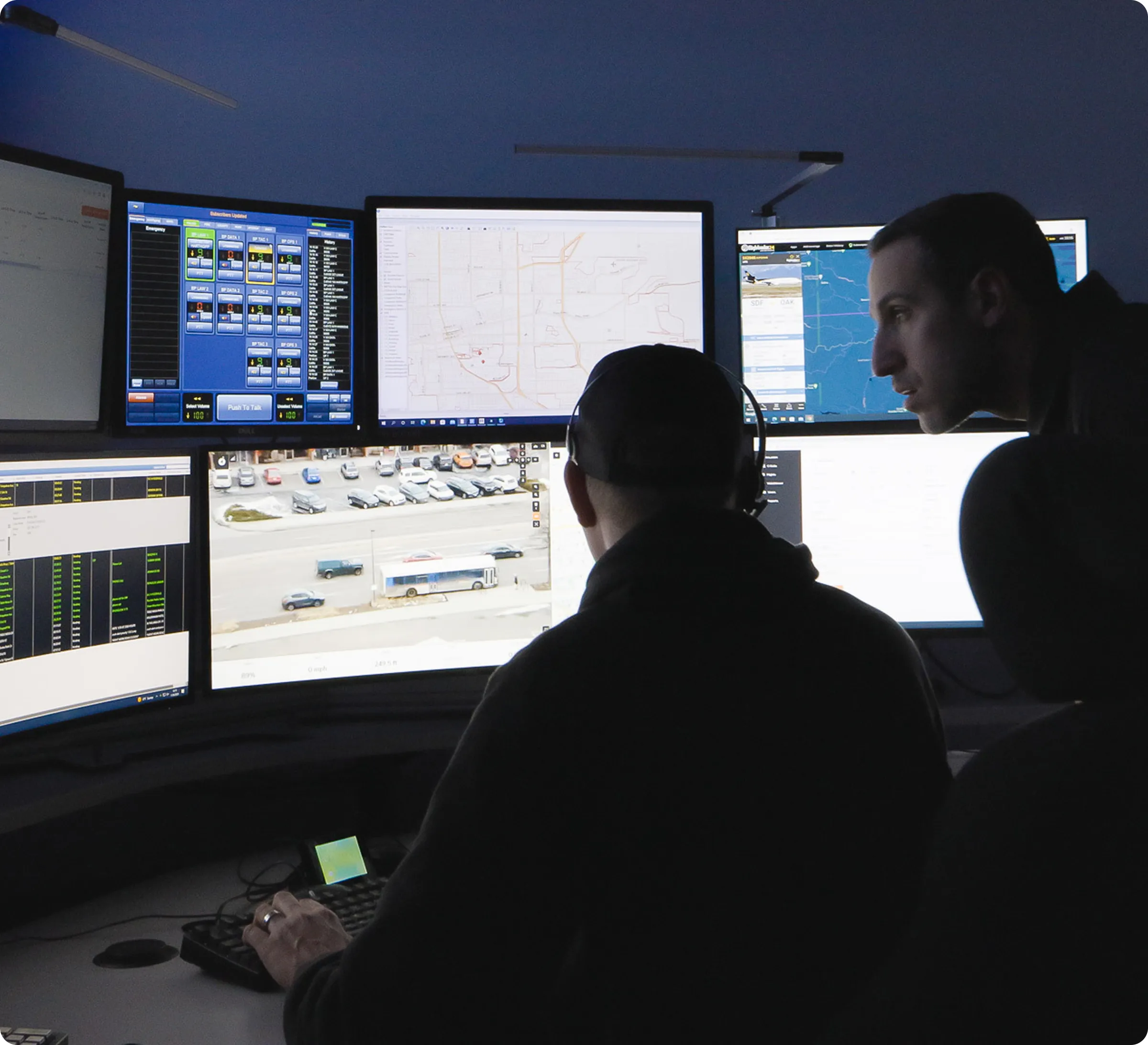
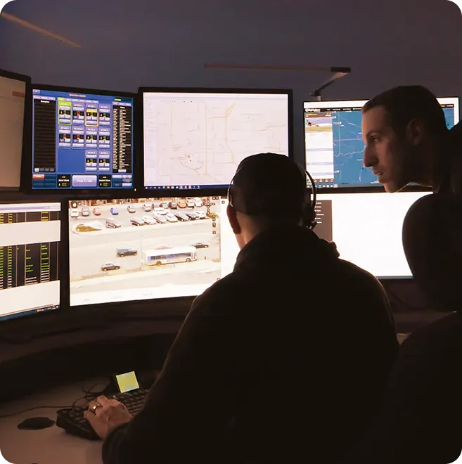
Real-Time Intelligence
Before Arrival
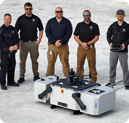
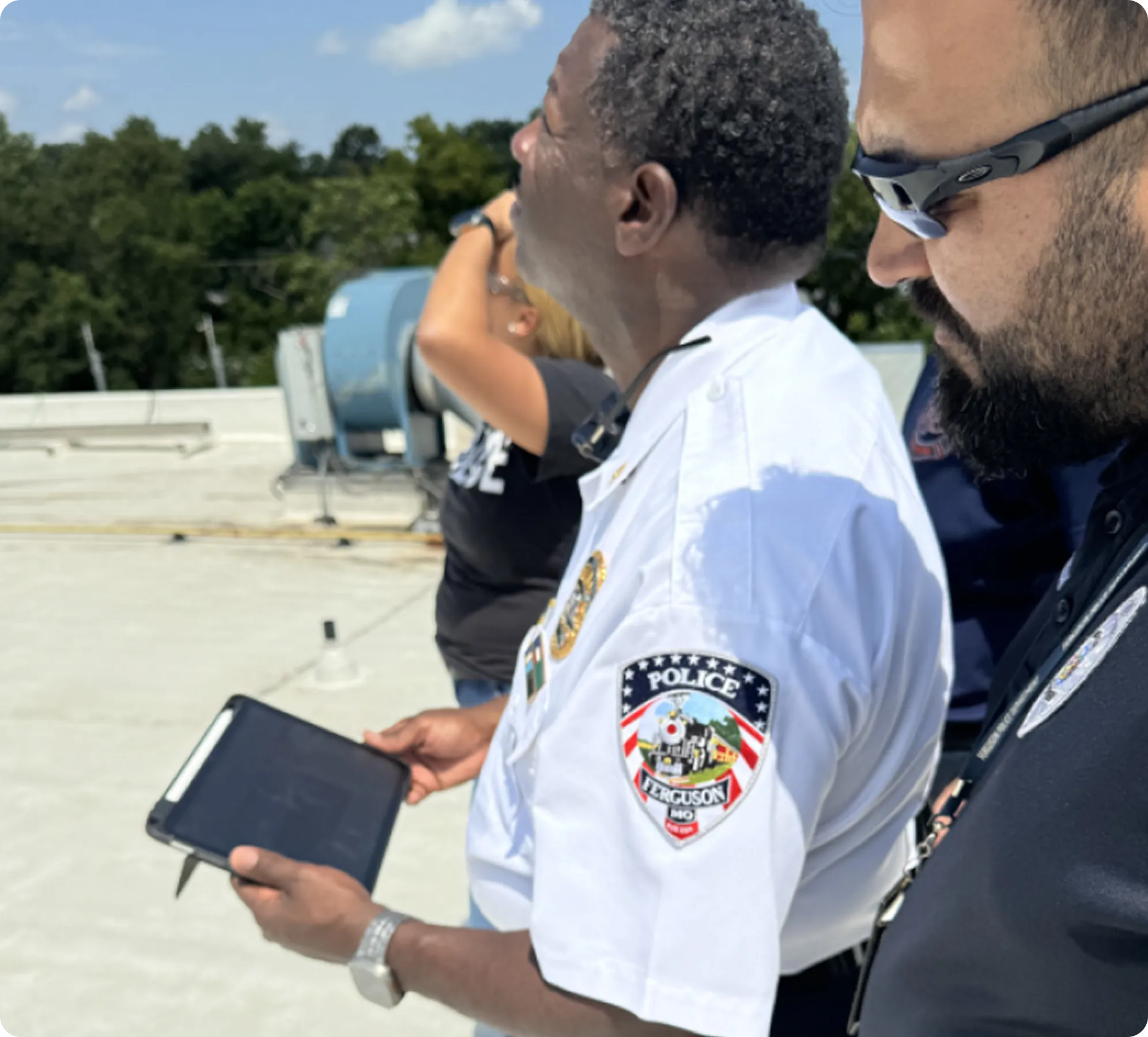
Paladin autonomously deploys drones to emergency incidents, delivering real-time aerial intelligence before the first unit arrives. Built as infrastructure any department can use, regardless of city size, the platform integrates with dispatch workflows to provide immediate situational awareness and support community-led public safety operations.

Dedicated 24/7 Public Safety Support
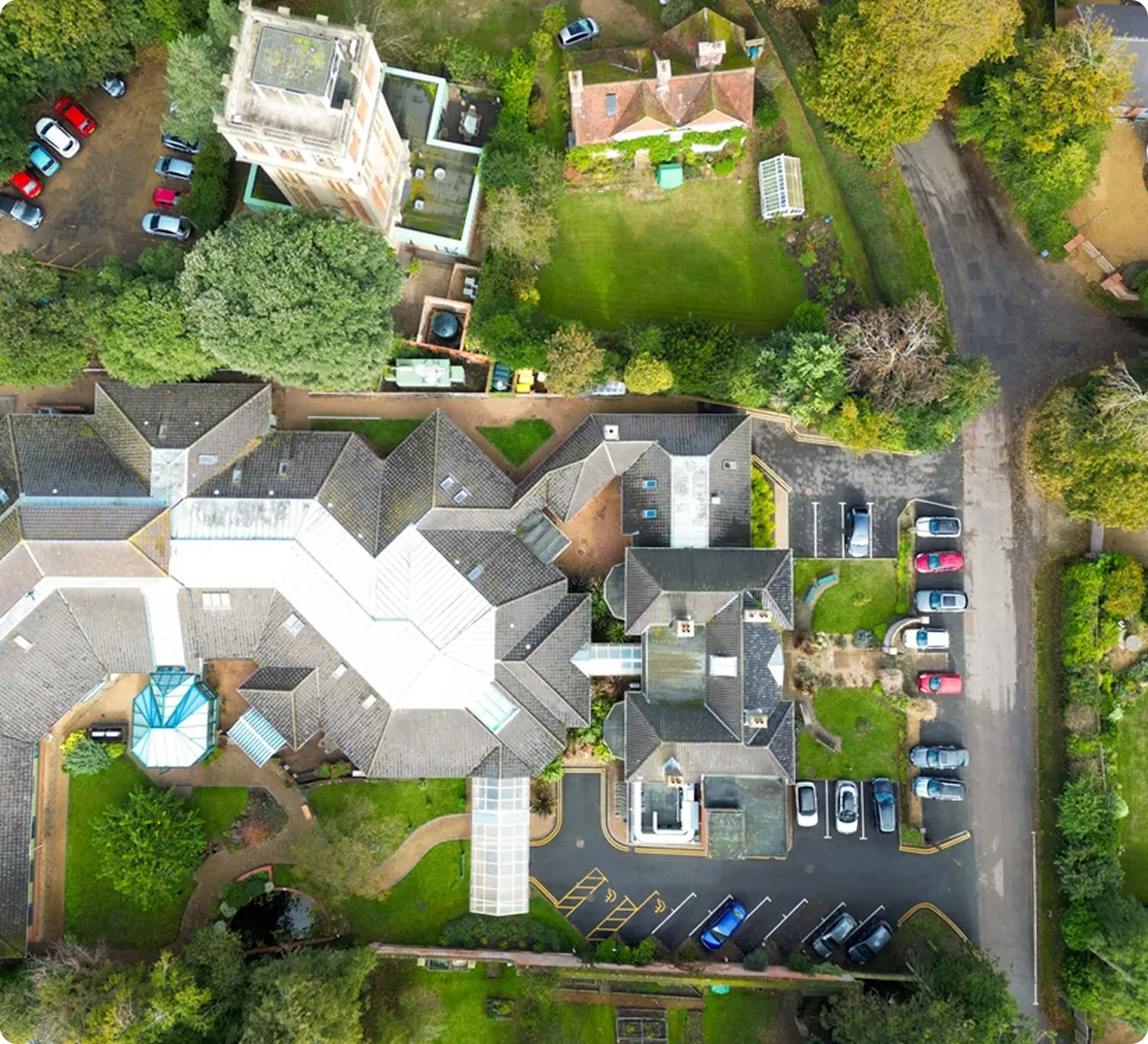
Real-time aerial intelligence gives responders clearer situational awareness, helping them approach incidents safely and coordinate responses with confidence.
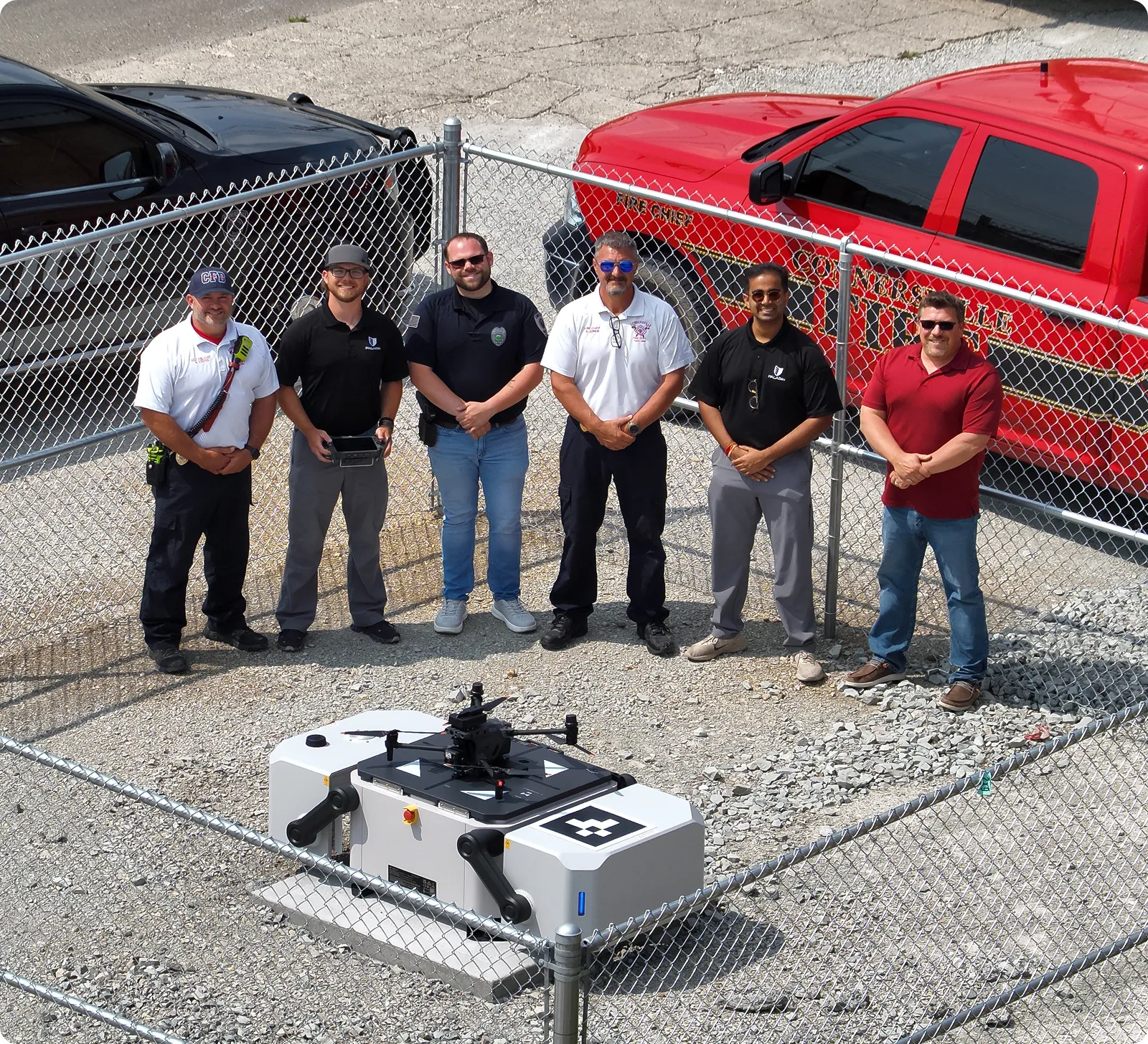
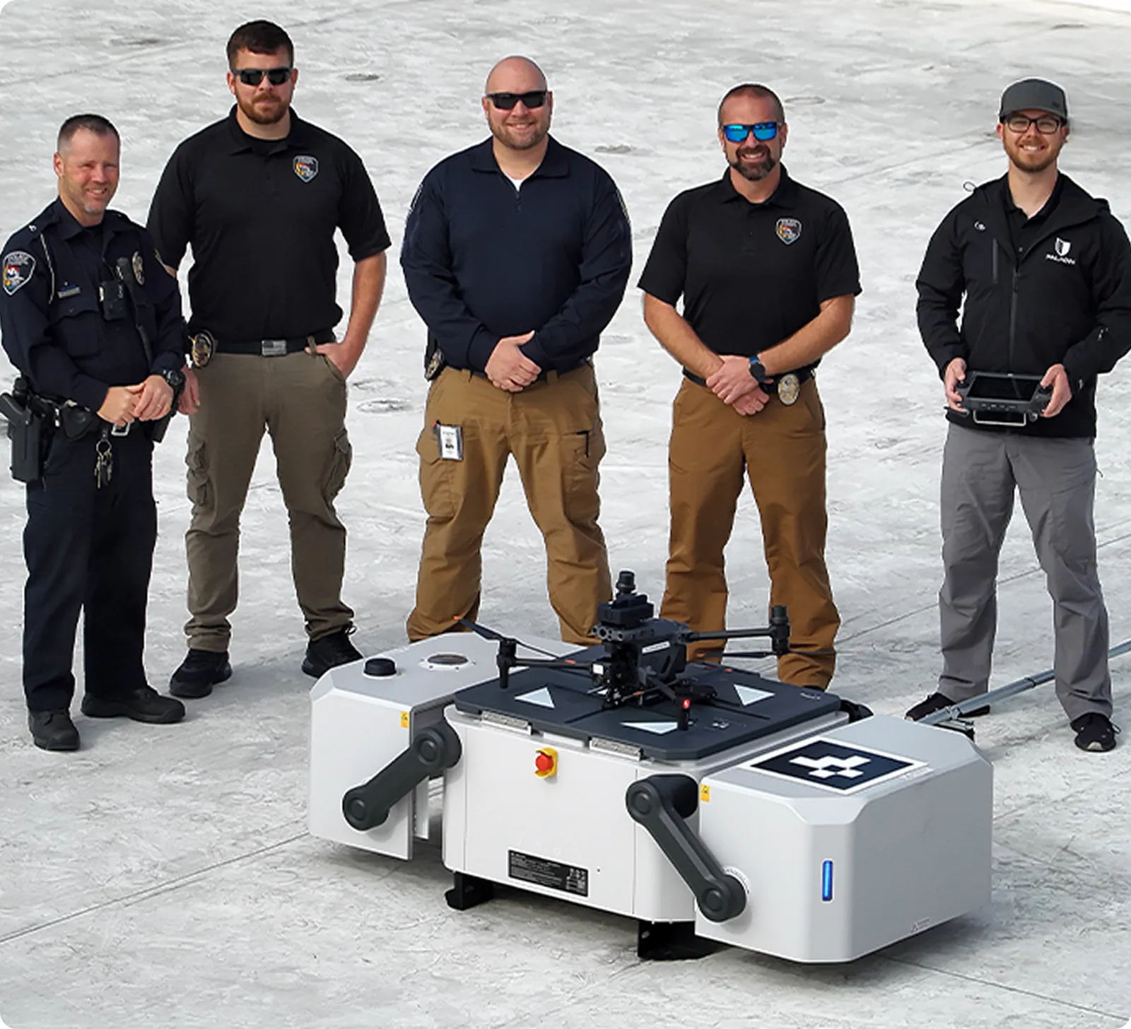
Plug-and-Play Deployment
An easy-to-deploy aerial response system that enables departments to quickly add aerial capability without complex aviation programs.
Stronger
Community Trust
Early visibility helps departments manage incidents responsibly and transparently, strengthening trust between agencies and the communities they serve.
Dedicated 24/7 Public Safety Support
Real-time aerial intelligence gives responders clearer situational awareness, helping them approach incidents safely and coordinate responses with confidence.
Plug-and-Play Deployment
An easy-to-deploy aerial response system that enables departments to quickly add aerial capability without complex aviation programs.
Stronger Community Trust
Early visibility helps departments manage incidents responsibly and transparently, strengthening trust between agencies and the communities they serve.
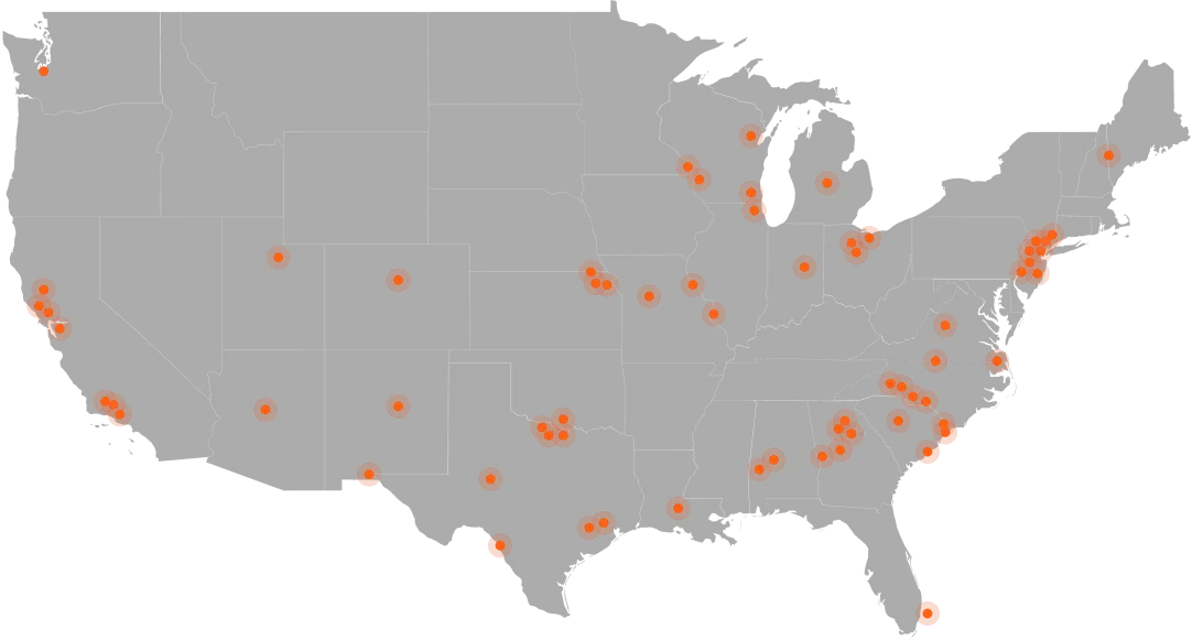
Real-World Operational Impact
Locations represent active accounts across public safety agencies in the United States.
200
K+
flights across active deployments
47
sec
average aerial response time
72
%
on scene before ground units
11
%
of daily 911 calls resolved without officer dispatch
35
–
150
typical number of officers in departments using Paladin
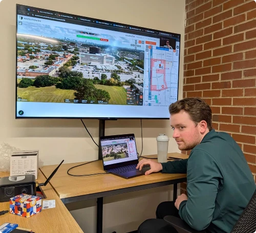
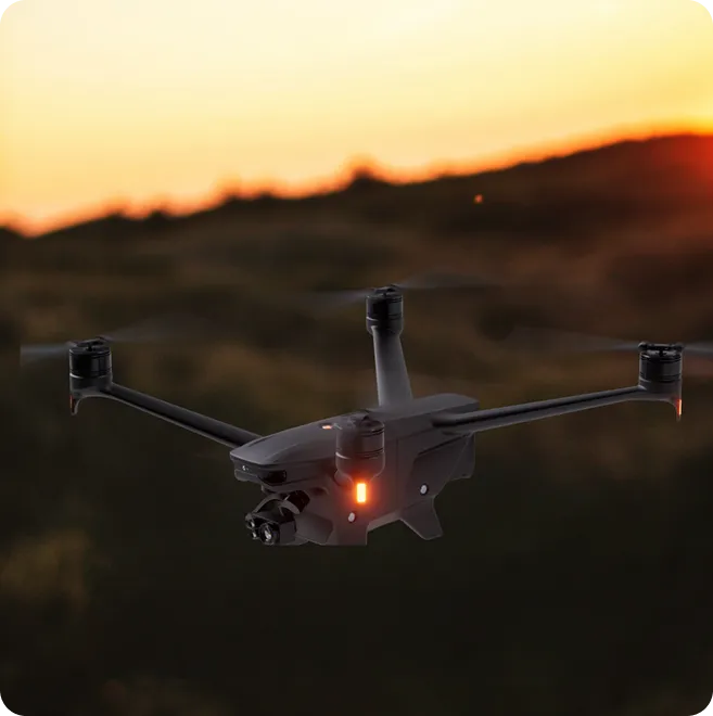
Dispatch to Intelligence
01
Drone is Deployed
A drone is launched automatically from the department’s dock as soon as an incident is reported, giving teams immediate aerial visibility.
02
Drone En Route
The drone travels directly to the incident location while transmitting live data to command and responding units.
03
Drone Gathers Intelligence
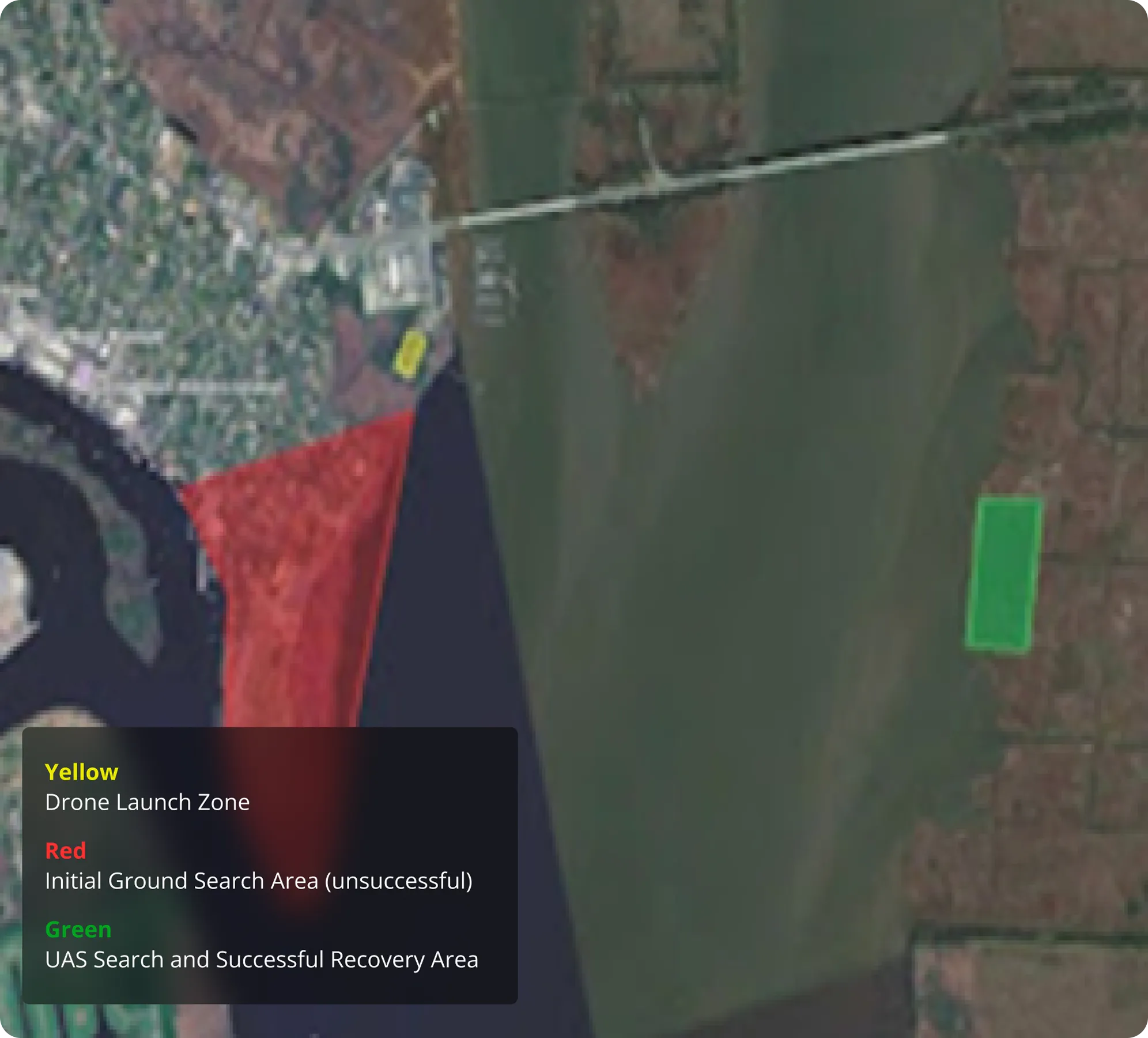
Once on scene, the drone provides live aerial and thermal views, helping responders understand the situation before they arrive.
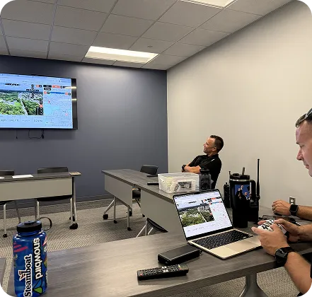
04
Drone Returns to Dock
After the mission, the operator triggers the return command and the drone autonomously flies back to its dock to recharge and prepare for the next deployment.
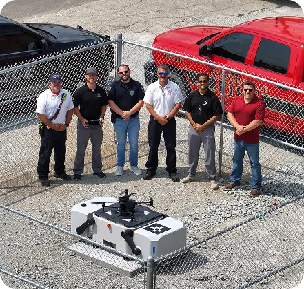
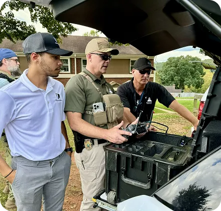
Proven in Real Operations

Trusted by Public Safety Leaders
This enhances response, safety measures, and helps develop a plan of action

Burlington, NC Police Department
Lieutenant Megan Coggins
Paladin has enabled us to continue our mission to be the best agency we can be

Forest Park, GA Police Department
Joshua Wilson
In my opinion the Paladin DFR program has helped out tremendously

Burlington, NC Police Department
Matt Cook MPO
A Clear View When It Matters Most
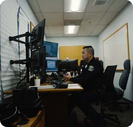
Responders need reliable information as quickly as possible during active incidents. Paladin provides real-time aerial intelligence in the earliest moments of a call, giving dispatch and responding units clear visibility of the scene so they can assess conditions faster and coordinate a safer response.
Extend Your Range with Cellular Connectivity
With Cellular
Single charge
Radio Frequency
Single charge
0 mi
0.5 mi
5 mi
Extended Range
With LTE you get unlimited range —
3–5 miles on a single charge.
Radio Frequency
The limitations of radio frequency range being only .5 miles max.
Autonomous Deployment
With LTE enabled drones, you can deploy autonomously from any location.
Insights
All Articles